Ben Vorlich: Hiking Guide – Everything You Need To Know
Ben Vorlich is a rocky Munro located in the Arrochar Alps in the Loch Lomond and the Trossachs National Park. From the summit are remarkable views of Loch Lomond, Loch Katrine and the Arrochar Alps.
This Munro is next door neighbour to Ben Vane. A Munros is a mountain in Scotland which is over 914 metres (3,000 feet).
Ben Vorlich is often bagged on its own. However, keen and more experienced Munro baggers sometimes bag with Ben Vane.
The most popular and quickest route is to bag this Munro from Inveruglas Visitor Centre at the shores of Loch Lomond. The ascent is steep however, the hike is worth it and it is worth the views.
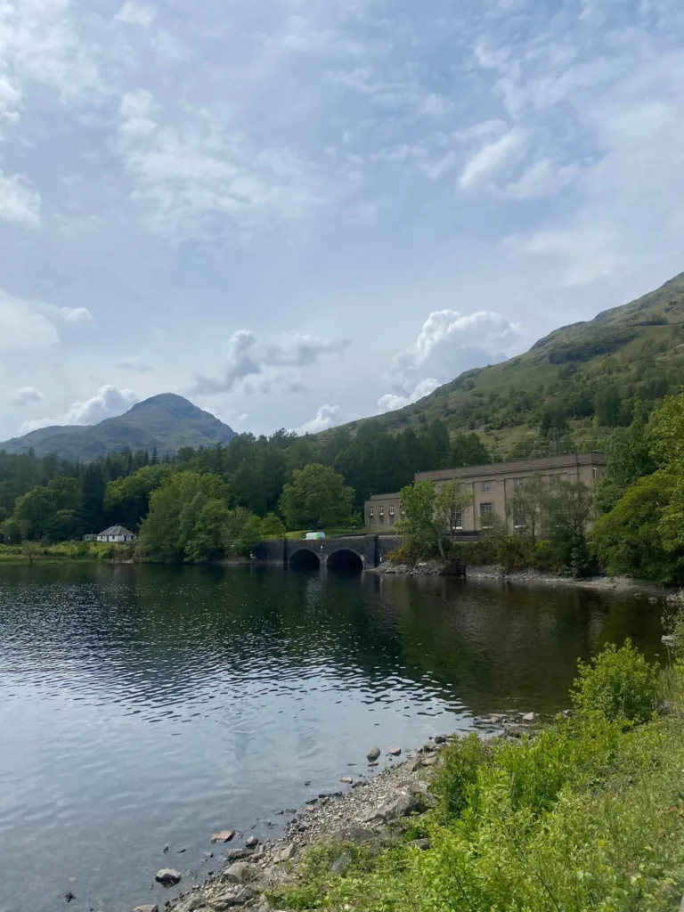
The hydroelectric power station is on the eastern side of the mountain. There are pipelines running through the mountains from Loch Sloy.
- Ben Vorlich: 943 metres (3093 feet)
- Distance: 13.5 kilometres (8.5 miles)
- Time: 4-5.5 hours
- Ascent: 945 metres
- Starting Point: Inveruglas car park
Where is this hike?
The hike is located in the Arrochar Alps in the Loch Lomond and the Trossachs National Park. Ben Vorlich is the most eastern Munro of the Arrochar Alps, and closest to the shores of Loch Lomond.
Ben Vorlich is located next to Inveruglas on the shores of Loch Lomond. The Arrochar Alps are not far from Arrochar and Tarbet.
From Glasgow and Stirling, the starting point is approximately one hour drive. Inveruglas is almost a two-hour drive from Edinburgh and Dundee.
It is an hour and forty-five minutes drive from Perth. Finally, from far away cities such as Inverness and Aberdeen, the drive is almost three hours.
The starting point has lovely views across Loch Lomond with Ben Lomond standing tall in the background.
How long is the hike?
The hike is 13.5 kilometres long. From Inveruglas, you follow the same route there and back.
The summit is almost seven kilometres away from the starting point. The total time to complete this route is between 4-5.5 hours.
As a rough guide, the moving time for this walk was 3 hours and 30 minutes when I completed it in March 2022. The time it takes to complete the walk depends on the weather conditions and an individual’s level of fitness.
Are the paths marked?
The first kilometre involves walking on pavement and tracks along the roadside. The next three kilometres feature a well-paved developed track which is used by workers at the Hydro scheme.
Meanwhile, the last three kilometres involve walking on an eroded path. Depending on the weather it might be easy to lose the direction of the path at some points.
Along the last part of the ascent, there are some parts which are extremely boggy. There are very few signposts on the entire route so make sure you have navigation materials.
Is the trail suitable for beginners?
Ben Vorlich is the ninth Munro that I bagged. The trail is a good route for beginners.
Be prepared for the steep ascent at the four-kilometre mark. The Arrochar Alps is an area which is popular for hikers as it is so close to Glasgow, the Central Belt and Loch Lomond.
If you are new to Munro bagging I would consider climbing Ben Vorlich as one of your first Munros.
How to get to the Munro?
The best place to start is the Inveruglas Visitor Centre at the shore of Loch Lomond. There is a small popular car park which fills up pretty quickly.
At the car park, there are toilets and tourist information so some people are stopping for a quick ten minutes before leaving again. There is a car parking fee which is paid at the car parking machines.
Ben Vorlich is one of the few Munros where you can get public transport to the starting point. From Buchanan in Glasgow, you can get the Scottish CityLink Bus to Uig.
Route Description
This route description describes the ascent and descent to Ben Vorlich from Loch Lomond.
Ascent
The route to Ben Vorlich begins at the car park at Inveruglas Visitor Centre on the west side of Loch Lomond. In the car park, there are toilet facilities and tourist information.
At the car park, you can take a quick detour to the Inveruglas Pyramid which is a lovely viewing point across Loch Lomond. There are lovely views of Ben Lomond and beyond.
Across from the car park, you can see the Loch Sloy hydroelectric power station, with the massive pipelines on the eastern flanks of Ben Vorlich. The pipelines power the turbines in the power station.
In 1950, the power station was commissioned to supply electricity to Glasgow at times of peak demand. The summit of Ben Vorlich can not be seen from the car park.
To start the route turn left out of the car park and walk along in front of the Loch Sloy hydroelectric scheme. Follow the road for almost a kilometre, there are paths alongside the road.
Turn right towards a gate leading under a railway. Follow the tarmac path for three kilometres.
There is a large electric substation on the left, ignore a tarred heading off to the right. On the right are the steep slopes of Ben Vorlich.
On the left is the lovely summit of A’Chrois, ahead you can see dense forests covering the slopes.
Near the Summit
On the left, there is an option to turn off to a minor track which has the sign for Cowal Way and Glen Loin Loop.
Shortly, Ben Vane, the Arrochar Alp Munro which stands at 914 metres, comes into view. It is a rough pyramid of rock and grass.
Three kilometres in, there is a path that turns off to the left. This route is signed for Glen Loin Loop and is the way to go to Ben Vane.
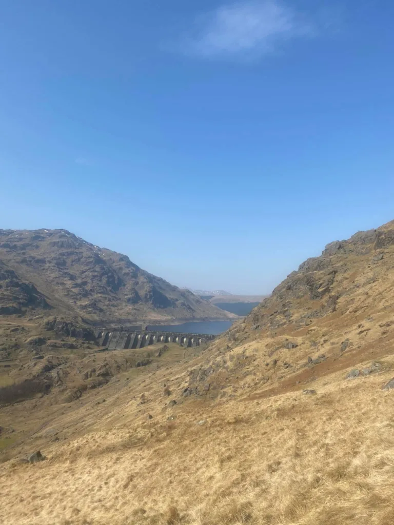
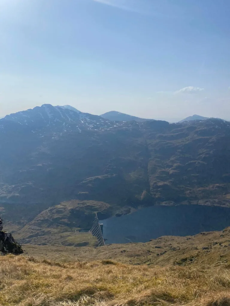
Keep following the tarmac road towards Loch Sloy Dam. Loch Sloy Dam is part of the infrastructure for the hydroelectric power station.
Soon, there is a rough path that heads to the right and ascends steeply. You do not have to walk right up to the dam to get to the summit of Ben Vorlich.
Keep an eye out for the stone footpath on the right. This is a steep ascent and tiring ascent.
Soon, lovely views open up over Ben Vane and Loch Sloy. At five kilometres in, approximately 600 metres above sea level, the path starts to head north.
At this point, the route climbs but the path begins to level off (thankfully). Continue along the rocky ridge, great views of Loch Lomond open up behind you.
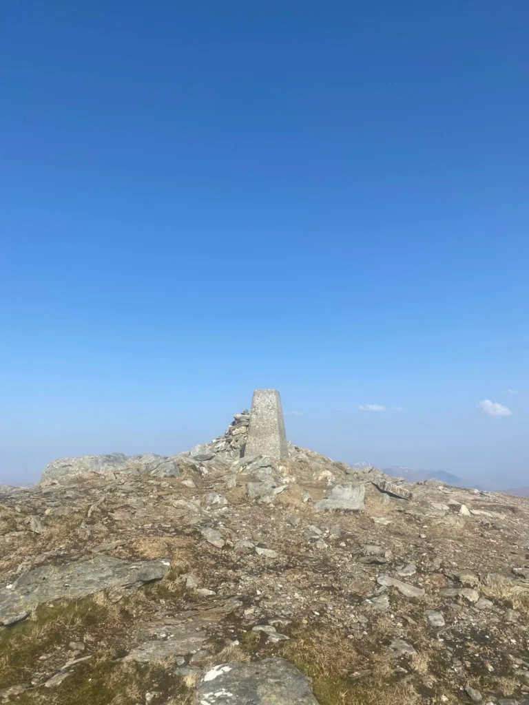
Later on, the main broad ridge of the mountain is reached. The path keeps to the east side and leads to a trig point and cairn.
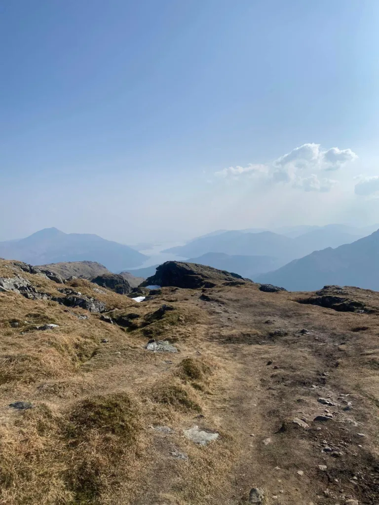
Keep walking for another two hundred metres along to the official summit along a small crag. From the summit there are brilliant views across Loch Lomond and the Trossachs National Park, Ben Lui looks majestic in the north.
Descent
Follow the same route as the ascent to get back to the car park. On the way down you can soak in the amazing views across Loch Lomond and its islands.
What to wear for this hike?
In Scotland, it is important to wear comfy warm clothing when hiking. The weather in Scotland changes rapidly, it is quite usual to experience four seasons in one day.
For this hike, it is important to wear sturdy footwear such as hill walking boots, walking shoes or trainers. T-shirts, jumpers, hoodies, leggings or trousers.
It is important to wear thermals and bring a large backpack.
What to pack?
Make sure to pack plenty of food, snacks and fluids to keep your energy up. There are no facilities on the route and the nearest shop is in Lochearnhead.
In the summer months, it can be cold, so make sure to pack extra layers, and bring a hat and gloves all year round. Make sure to bring bug spray or midge repellent.
Packing waterproofs, extra socks, painkillers and a small first aid kit. Also, some people bring walking poles to help take pressure off the knees.
It is so important to wear suitable clothes and pack appropriately for hiking in Scotland.
How long Does Ben Vorlich take to climb?
To get to the summit, I took two hours to get to the summit. The return time was approximately one hour and 30 minutes.
How difficult is Ben Vorlich?
Ben Vorlich is a moderate climb for Munro baggers. It is a very accessible Munro and a population option.
Ben Vorlich is easy to navigate, however, this can be difficult if visibility is poor. There are some short steep areas which are challenging but the views make it worth it.

Is Ben Vorlich easy to climb?
Ben Vorlich is an easy Munro to navigate. There is a really steep but short ascent on the side of Ben Vorlich.
Ben Vorlich is a good Munro for beginner Munro baggers. How easy you find the climb depends on a person’s fitness level.
Final Note
It is possible to climb Ben Vorlich by starting in Ardlui in the north. This walk is a fine circuit taking in the Little Hills.
This post lists everything you need to know about the Ben Vorlich hike.
Ben Vorlich is a Munro in the Arrochar Alps which stands at 943 metres. It is the earliest Munro in the Arrochar Alps and sits on the west side of Loch Lomond.
This is an enjoyable walk and the views from the summit across Loch Lomond and the Trossachs National Park and the western islands of Scotland.
Make sure you are prepared for your walk. The weather in Scotland can change dramatically in a short space of time, especially in the mountains.
There are so many Munros to bag near Glasgow, Edinburgh, Ullapool and Fort William.
I visited the following websites below when planning my hike and I found them useful:
