4 Brilliant Cairnwell Peaks: Glas Maol Circuit – Everything You Need To Know
The Glas Maol Circuit features four Munros located on the east side of the Cairnwell Pass. The four Munros can be completed in one attempt or two or more separate journeys.
In addition, keen Munro baggers can bag the other three Munros that are located on the west side of the Cairnwell Pass. These three Munros are the Cairnwell, Càrn a’ Ghèoidh and Càrn Aosda which are known as the Cairnwell 3.
Additionally, there are two more Munros that are sometimes included in the Glas Maol Circuit. Tom Buidhe and Tolmount are located in the Angus Glens and are popular options to bag with the four Glas Maol Munros.
The good thing about bagging all four Munros is that there is little descent between each peak. Also, the starting point is from the Old Military Road (A93) which is approximately 600 metres above sea level.
The Route & Munros
The route is straightforward, and the four summits are arranged on a plateau. This set of Munros is one of the most accessible multi-bagging Munro routes in the Cairngorm National Park.
Càrn an Tuirc is a stony dome, the summit is a wide plateau. Cairn of Claise is an insignificant rise on the wide plateau where a large stone wall near the summit marked the old county boundary.
The ski development scars the western slopes of Glas Maol. Glas Maol is the highest of the four Munros.
On the quieter eastern face of Glas Maol, there are plenty of crags and corries below its vast domed summit. Glas Maol translates from Scottish Gaelic as ‘green-grey hill’.
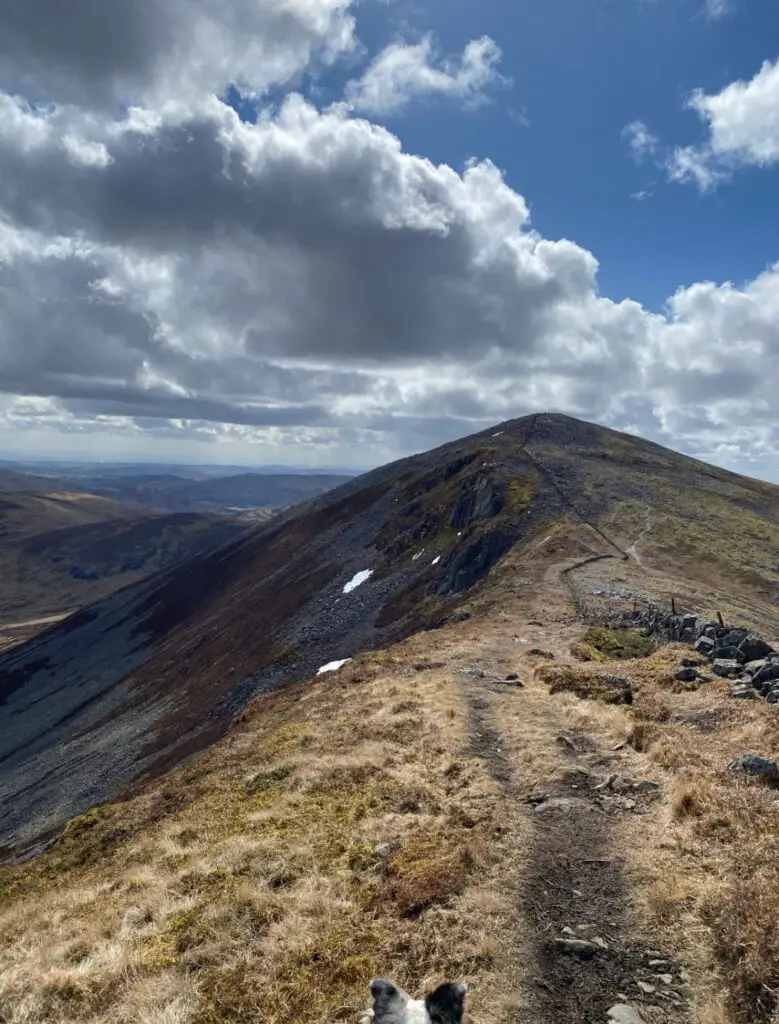
Creag Leacach is the final Munro in the circuit. The stony mountain rives prominently above the Devil’s Elbow on the road up the Cairnwell Pass.
Càrn an Tuirc: 1019 metres
Cairn of Claise: 1064 metres
Glas Maol: 1068 metres
Creag Leacach: 987 metres
Distance: 19.25 kilometres (12 miles)
Time: 6.5 – 7.5 hours
Ascent: 891 metres
Starting Point: Car Park Near A93
Nearby Accommodation: Gulabin Lodge, Dalnaglar Castle Estate
Where is this hike?
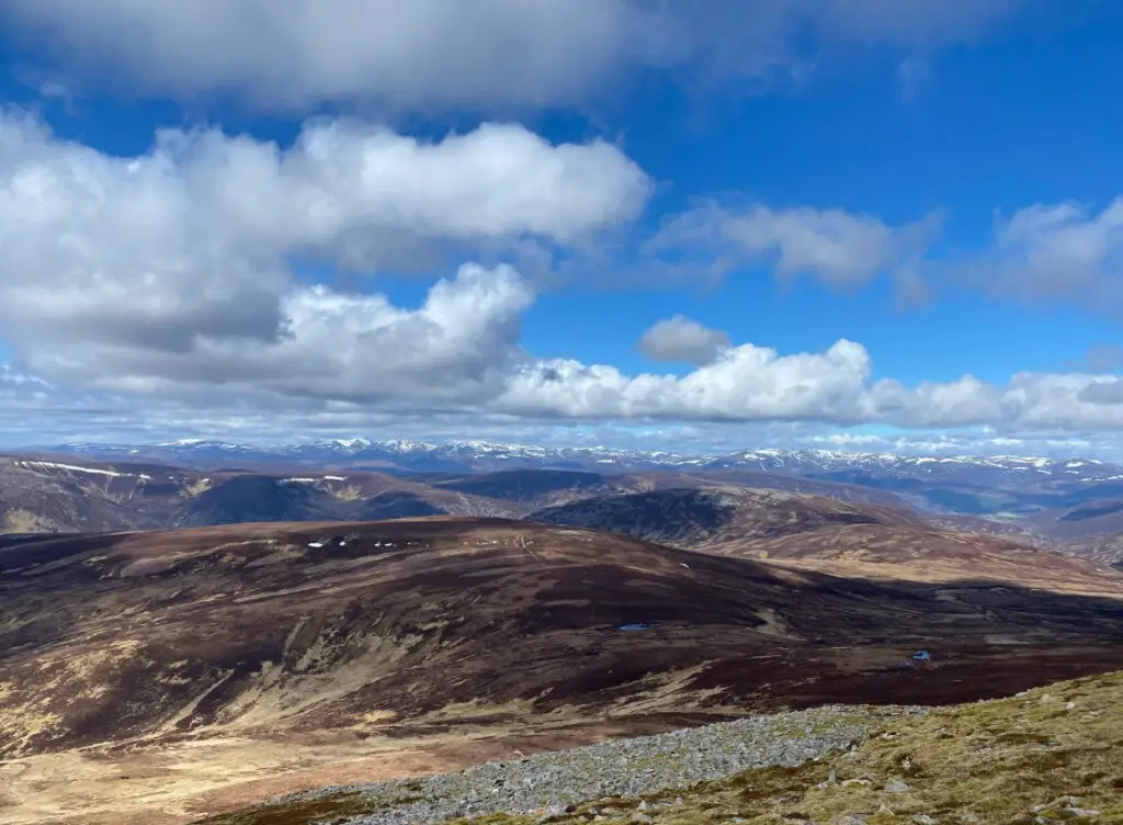
The Glas Maol Circuit is located in the Cairngorms National Park. The Munros are close to the Glenshee Ski Centre.
There is a ski development scar on the western flanks of Glas Maol. The four Munros in this circuit are all located on the east side of the Old Military Road (A93).
Glas Maol Circuit marks the old county boundary line between Angus and Aberdeenshire. The starting point is either the car park at Glenshee or the small car park to the east of A93 two kilometres north of the car park.
The closest city to Glenshee Ski Centre is Perth. Perth is 40 miles away and the driving time is 1 hour and 10 minutes.
Dundee is a city that is close to the Glenshee Ski Centre, the driving time is only 1 hour and 15 minutes away. To get to Glenshee from Aberdeen, it is an approximately 1 hour and 45-minute drive.
The drive time from Edinburgh to Glenshee Ski Centre is 2 hours and 15 minutes. From Glasgow, allow 2 hours and 10 minutes to drive to Glenshee Ski Centre.
How long is the hike?
The hike is 19.25 kilometres (12 miles) long. The time it takes to complete the hike depends on the weather condition, the underfoot and a person’s physical ability.
As a rough guide, I completed these four Munros in 5 hours and 45 minutes. My total moving time was 5 hours and 5 minutes.
I completed this hike in April 2023, the weather conditions were good, the ground was mostly dry and visibility was clear.
Are the paths marked?
The path from the car park to Càrn an Tuirc is mostly eroded and there are faint tracks to follow. There are many points at this part of the walk, which are extremely boggy and marshy.
You really have to watch your step so you do not get swallowed up in the mud. Do expect to get a little bit of mud on your feet and legs at this part of the walk.
As you reach the summit of Càrn an Tuirc there are gravel paths which lead the way. From the summit of Càrn an Tuirc to Cairn of Claise, the is a faint eroded path which will not be easy to see during periods of low visibility.
The path is almost invisible along the ridges between peaks. A lot of the route is on low-cut grass and moorland.
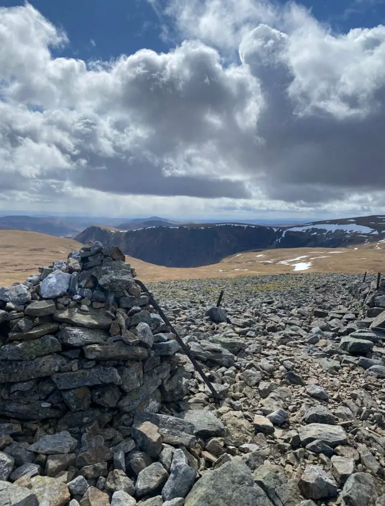
The final Munro, Creag Leacach involves climbing on rocky underfoot to get to the summit. Some of the paths are not clearly marked or clearly visible, however, there are stone walls and fences for parts of the route which will keep you in the right direction.
Is the trail suitable for beginners?
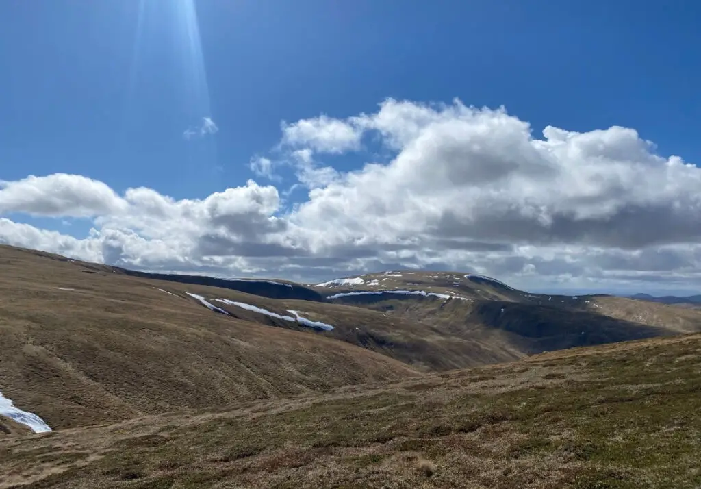
Glas Maol is a good way for beginners to climb four Munros. The good thing about this circuit is that the initial ascent is short, as the car park is over 500 metres above sea level.
Once you have bagged the first Munro, the climbs to the next summits are easy. During this hike, you are always 900 metres above sea level and never have far to ascend to the summit.
Beginners can even bag two Munros at a time to cut down the length of the route. There is little signage on the route, therefore, good navigational skills are required.
This is a good route for those who have poor fitness or are building up their physical ability to bag Munros.
How to get to the Munro?
There are no public transport routes to the start point of the route. The best way to get to the Munros is to park in the Glenshee Ski Centre car park.
Alternatively, you can park in a small car park two kilometres north of Glenshee Ski Centre. From Glenshee Ski Centre car park you can also bag the Cairnwell 3 Munros.
Also, you can ride the chair lift or relax in Tea at the Shee with a cup of coffee.
Route Description
This route description describes the best way to bag all four Munros. Starting with Càrn an Tuirc, Cairn of Claise, Glas Maol and Creag Leacach.
Ascent
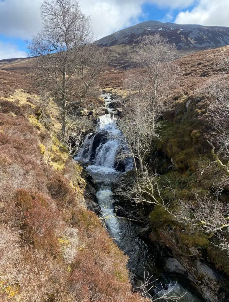
The first three kilometres involve walking along the river Allt A’Gharbh Choire and ascending Càrn an Tuirc. From the car park, head onto a rougher path and follow down to the grass-covered old stone bridge.
This bridge was once part of the military road from Perth to Braemar. The path soon becomes a little drier underfoot.
Also, the path is hard to follow in parts, passing two old shielings. After the second shieling, the path reaches a tributary burn.
Head along for the right side of the burn for a while, then find a safe place to cross. Once you have crossed the burn it is time to climb a steeper ascent to the stony dome of Càrn an Tuirc.
The initial climb goes through grass and heather, then the route leads into a boggy section. As you ascend higher, there are great views of the Cairnwell Pass.
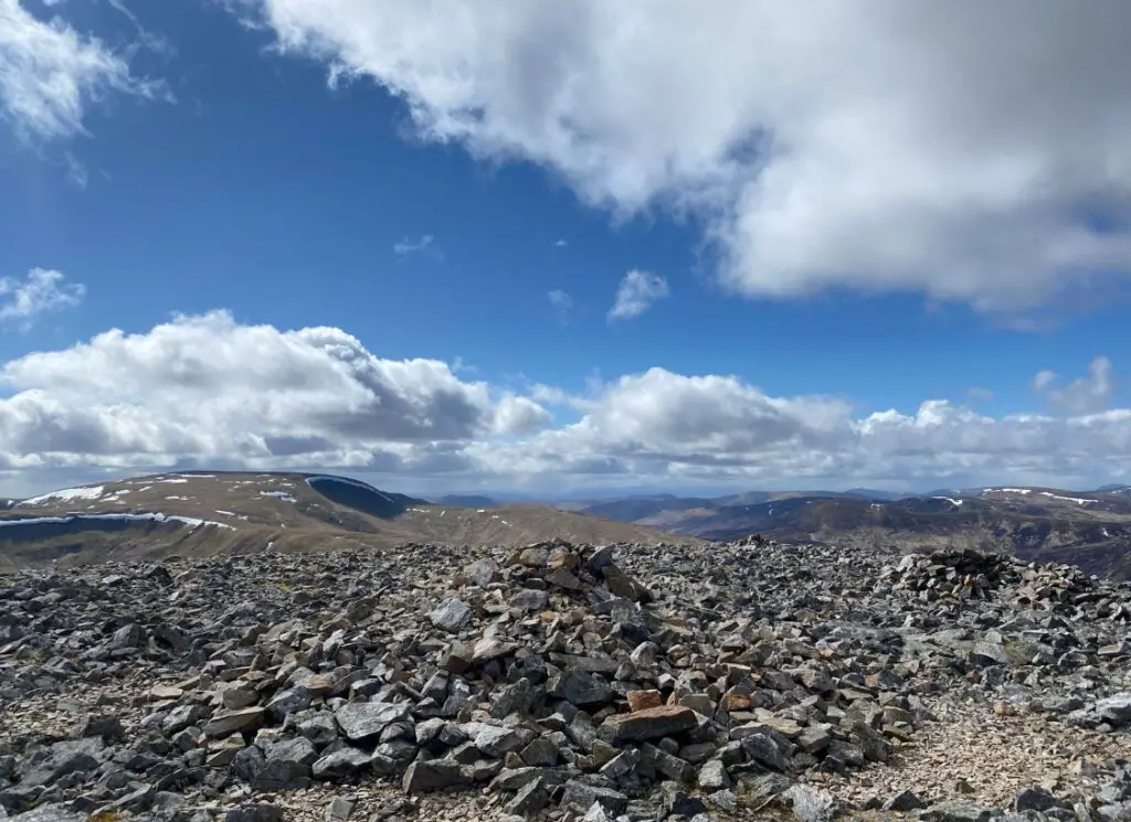
The summit of Càrn an Tuirc is covered in stones. It is possible to want on gravel paths and avoid the large stones near the summit.
Near The Summit
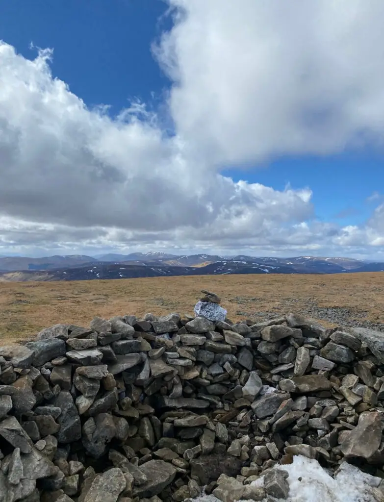
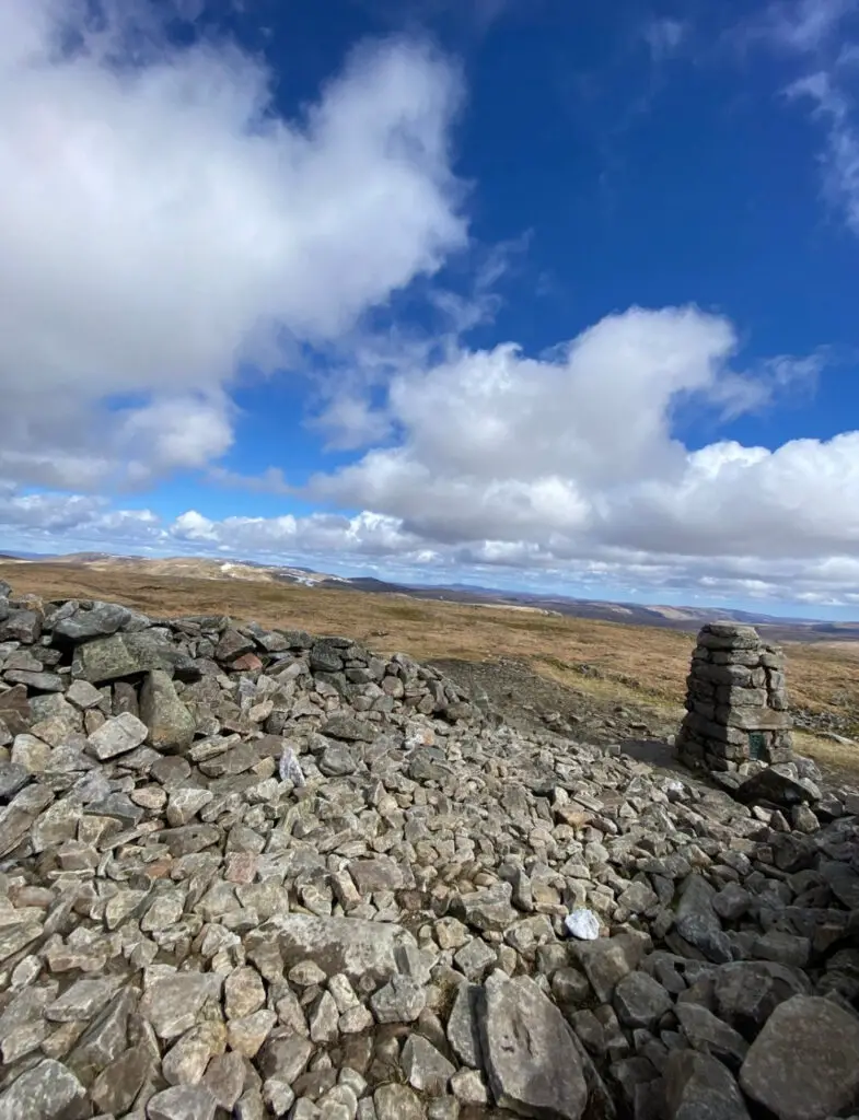
The 1019 metres summit of Càrn an Tuirc is decorated by a summit cairn and a small shelter which is adjacent to the summit cairn. There is a great deal of space on this support.
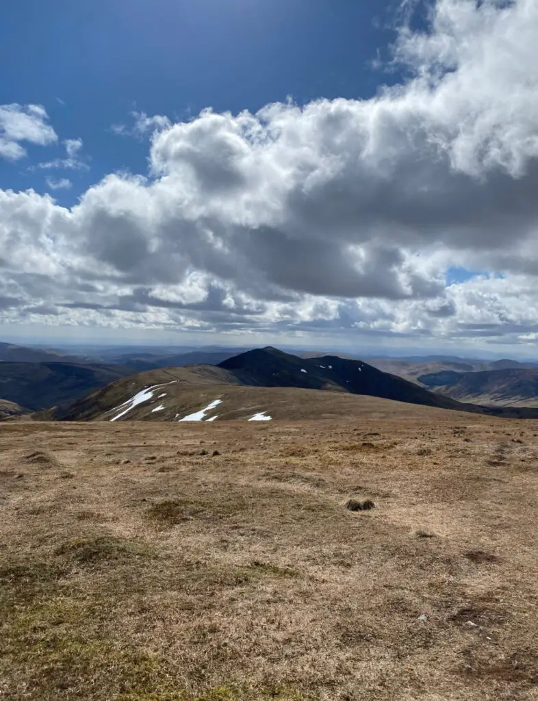
Also, there are excellent views across Deeside and the Cairngorms. The peak of Cairn of Claise can be seen in the distance.
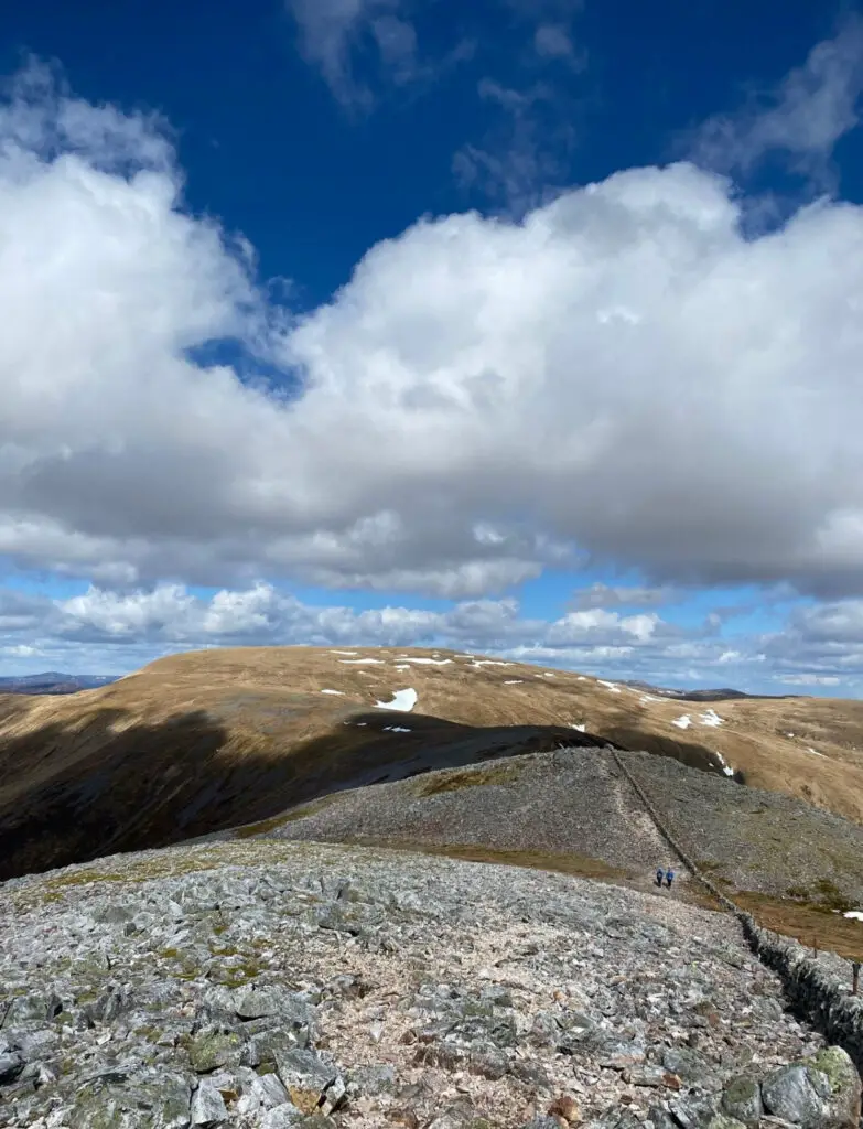
Follow the route to the left and walk along the wide-looking ridge to Cairn of Claise. The next two kilometres stay above 950 metres above sea level and head towards Cairn of Claise.
On the way there is a subsidiary cairn, the underfoot is a grassy track. Soon, you will come across a drystone wall where the track fades.
The drystone wall on your right marks the end of the old county boundary. Follow the wall and the underfoot becomes a little more stonier.
Just on the left side of the wall is the summit cairn at 1064 metres. Continue to head along the stone wall, heading southwest.
The section between Cairn of Claise and Glas Maol is almost four kilometres long. Soon, it is possible to diverge from the wall to pick up a track to the left of a tiny lochan.
After a kilometre, you will come across a pillar from a fence marked in the ground. To the right is the Monega Pass which will take you back to the starting point of the Glas Maol Circuit.
To the left is the route you will take to get to the summit of Glas Maol. The ski development is not far behind this point.
The summit of Glas Maol is marked by a small cairn and a tiny stone shelter. The last stretch to the final Munro is under a two-kilometre walk.
Descent
There are a few options to descend back to the car park. I traced my steps for almost two kilometres then took a left down to the ski development.
The descent from Creag Leacach involves walking back over the rocky summit that you first walked over. Follow the route you walked for almost two kilometres.
The route turns off left, soon you will be able to see the ski development head. Soon, the route heads west and over Meall Odhar which stands at 922 metres.
The ski area begins here, you will have a great view of the ski buildings, other developments and the car park.
From there, the descent begins pretty rapidly. For the next kilometre, the path heads through the ski development.
A final steep walk will lead to the south end of the big car park at the Glenshee Ski Centre. From the car park, head north and walk along the A93 for two kilometres back to the car park where the route began.
What to wear for this hike?
The best thing to wear for this hike is warm comfy clothing. I wore leggings, a T-shirt, and a jumper and brought plenty of layers.
It is important to wear good sturdy footwear, I would suggest wearing hiking boots with good ankle support.
The weather in Scotland can change dramatically, often Scotland experiences four seasons in one day. Therefore, I would pack waterproofs.
What to pack?
It is important to bring plenty of snacks and pack plenty of fluids as this is a long route and you will need to keep your energy levels up.
In the summer, I would suggest bringing sunglasses, midge spray and a sun hat. The UV rays can be strong, especially in the mountains.
In the cooler months, make sure to pack extra layers, gloves, a hat and waterproofs. Make sure to bring extra pairs of socks as it is muddy and wet in some sections of this route.
Follow this guide for What to Wear in Scotland
Final Note
This is a useful guide for everything you need to know for completing the Glas Maol Circuit in the Cairngorms National Park. Glas Maol is the highest Munro in the Cairnwell Munros.
From the summit of Glas Maol and Creag Leacach, there are excellent views across to the Cairnwell 3 Munros. Creag Leacach is located high above the Devil’s Elbow Viewpoint.
The summit of Càrn an Tuirc is wide and flat, making the area feel so spacious and empty. Overall, this is a brilliant hike with enjoyable spacious views.
The Glas Maol Circuit is a great multi-Munro day, especially for those who are beginners and have limited navigational skills and fitness levels.
It is important to note that the Glas Maol Circuit sometimes includes Tom Buidhe and Tolmount to make six peaks to bag. More experienced mountain baggers might consider completing the six peaks in one day.
The Cairnwell 3 can be completed with the Glas Maol Circuit. These 7 Munros are also known as the Glenshee 7.
For keen Munro baggers, you can complete nine munros in the Glenshee 9 hiking circuit. The Munros in this circuit include Tolmount, Tom Buidhe, Càrn an Tuirc, Cairn of Claise, Glas Maol, Creag Leacach, The Cairnwell, Càrn a’ Ghèoidh and Carn Aosda.
