30 Best Munros Near Aberdeen That Are Within 2 Hours Drive
There are approximately 30 Munros that are within a two-hour driving distance from Aberdeen. I have put together some of the best 30 Munros near Aberdeen.
Most of the Munros are located in the Cairngorms National Park. Where 4 of the 5 highest Munros in Scotland are found.
Aberdeen is the third largest city in Scotland, located in the northeast of Scotland. This part of Scotland is well-known for its breath taking scenery and rugged mountains.
Scotland has 282 Munros and approximately 30 of them are located in Aberdeenshire. A Munro is a mountain switch that is over 3,000 feet (or 914 metres).
Ben Avon
- Ben Avon: 1171 metres
- Driving Time: 1 hour 27 minutes
- Starting Point: Keiloch at Invercauld Estate
- Nearby Accommodation: Dormie Cottage
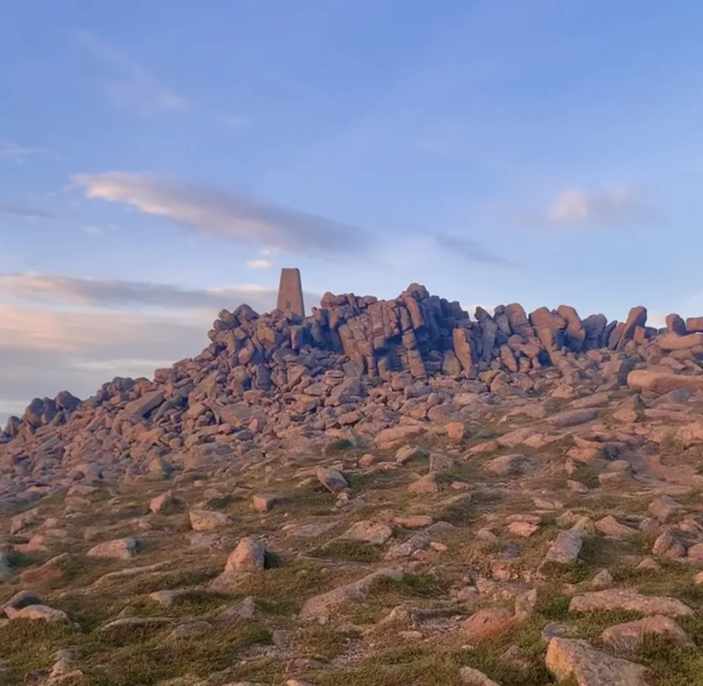
Ben Avon is located on the easternmost of the high Cairngorms. The walk from Keiloch at Invercauld Estate is the shortest route. Using the old right of way up Gleann an t-Slugain.
Ben Avon is very remote and it is a long route which is over 20 miles long and takes nine hours to complete one Munro.
Mount Keen
- Mount Keen: 929 metres
- Driving Time: 1 hour 14 minutes
- Starting Point: Invermark Car Park
Mount Keen is the most easterly Munro in Scotland and it is the closest Munro to Aberdeen. Mount Keen is one of the Munros located in the Cairngorms National Park.
This Munro is considered one of the most accessible Munros to bag. The beautiful walk leads you through Glen Esk. Passing Queens Well before ascending Mount Keen.
This route is considered an easy hike and you might see people cycling to the top. On the summit, there are stunning views across Angus and large boulders mark the top of the mountain.
White Mounth Munros
- Broad Cairn: 998 metres
- Lochnagar: 1155 metres
- Càrn a’Choire Bhòidheach: 1118 metres
- Carn an t-Sagairt Mòr: 1047 metres
- Cairn Bannoch: 1012 metres
- Driving Time: 1 hour 25 minutes
- Starting Point: Spittal of Glen Muick Car Park
- Nearby Accommodation: Crofts Mill
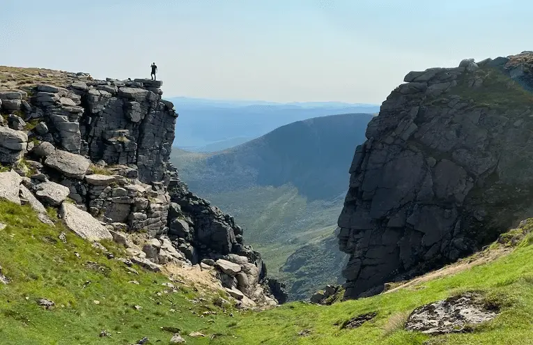
This group of Munros makes an excellent route for experienced hill walkers. It makes a great challenge. It takes over ten hours to bag this circuit and is a long and exposed mountain walk.
Broad Cairn is a vast rolling plateau and is usually the first to be bagged of the five White Mounth Munros.
Lochnagar roughly translates to Beinn Chiochan in Scottish Gaelic. This mountain is located on the Balmoral Estate and is one of the most popular Munros in Scotland.
The summit is pointed and rises above stunning corries offering truly remarkable views.
Càrn a’Choire Bhòidheach is located in the centre of the extensive White Mounth plateau. The White Mouth forms the southern backdrop to much of upper Deeside. Carn an t-Sagairt Mòr is located on the western end of the Mouth plateau.
There is a wreckage of an RAF jet crash that occurred in 1956 towards the north of the summit. The final Munro, Cairn Bannoch is a small stony dome located south of Lochnagar.
Mayar and Dreish
- Mayar: 928 metres
- Driesh: 947 metres
- Driving Time: 1 hour 32 minutes
- Starting Point: Glen Doll Car Park and Ranger Base
- Nearby Accommodation: Cullew Bothy
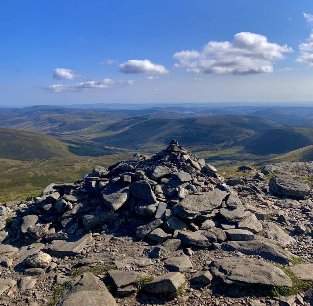
Mayar and Dreish are considered another good route to bag two Munros together. It is especially good for beginners.
The Munros are located in Angus and the route begins at Glen Doll car park. Then follows through some gorgeous woodland. Soon after the route opens out to the picturesque Corrie Fee Nature Reserve.
The Corrie Fee Nature Reserve features a lovely waterfall. The route to Mayar involves climbing up the left side of Corrie Fee. The descent from Driesh follows the Kilbo Path back to Glendoll Forest.
There is a car parking fee to park at Glen Doll car park. This walk is one of my favourites peaks from Dundee.
Tom Buidh and Tolmount
- Tom Buidh: 957 metres
- Tolmount: 958 metres
- Driving Time: 1 hour 45 minutes
- Starting Point: Lay by on A93, Cairnwell Pass just before Glenshee Ski Centre
- Nearby Accommodation: Gulabin Lodge
Tom Buidh and Tolmount are two Munros located next to each other. They have a similar shape, size and terrain cover.
The eastern flanks of Tolmount are crossed by Jock’s Roads. Jock’s Road is a historic route which has a key role in the history of access to Scotland’s hills.
From the top of Tolmount. There are cracking views across the Angus Hills, Cairngorms and Glenshee.
These two Munros are usually bagged together. Also, there are many different approaches to Tom Buidhe and Tolmount.
Tom Buidhe and Tolmount are usually walked with Glenshee 9, Glas Maol Circuit. Or, Munros above Jock’s Road circuit.
Glas Maol Munros Circuit
- Càrn an Tuirc: 1019 metres
- Cairn of Claise: 1064 metres
- Glas Maol: 1068 metres
- Creag Leacach: 987 metres
- Driving Time: 1 hour 45 minutes
- Starting Point: Layby on A93, Cairnwell Pass, just before Glenshee Ski Centre
- Nearby Accommodation: Gulabin Lodge
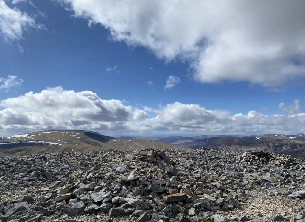
These Munro peaks are located on the east side of the Cairnwell Pass. The four Munros are often bagged together. There is a high start and little descent between each of the peals.
Càrn an Tuirc is a stony dome where you can see the high lochan ringed by broken crags.
The west side of these Munros is covered by ski runs, tows and fence lines. Meanwhile, the eastern side is much quieter. There are crags and corries below its vast domed summit.
An Sgarsoch and Càrn an Fhìdhleir
- An Sgarsoch: 1007 metres
- Càrn an Fhìdhleir: 994 metres
- Driving Time: 1 hour 46 minutes
- Starting Point: Linn of Dee Car Park
An Sgarsoch is amongst the remotest mountains in Scotland. It connects the Mounth to the Cairngorms.
These Munros are located west of the Linn of Dee. The slopes of An Sgarsoch rise high above the heather-clad moorland.
Popular routes to An Sgarosch include walking from Linn of Dee, Glen Feshie to the north or Glen Tilt to the west. The starting point for An Sgarosch and Càrn an Fhìdhleir, Linn of Dee, is near Braemar and Ballater.
Beinn a’Chaorainn and Beinn Bhreac
- Beinn a’Chaorainn: 1032 metres
- Ben Bhreac: 931 metres
- Driving Time: 1 hour 46 minutes
- Starting Point: Linn of Dee Car Park
From the peaks of both of these Munros are amazing views across The Cairngorms.
Walkers who embark on this route like to cycle to Derry Lodge before ascending to the peaks. The starting point for Beinn a’Chaorainn and Beinn Bhreac , Linn of Dee, is near Braemar and Ballater.
Cairnwell 3
- The Cairnwell: 933 metres
- Càrn Aosda: 917 metres
- Càrn a’ Ghèoidh: 975 metres
- Driving Time: 1 hour 47 minutes
- Starting Point: Glenshee Ski Centre
- Nearby Accommodation: Dalmunzie Castle Hotel
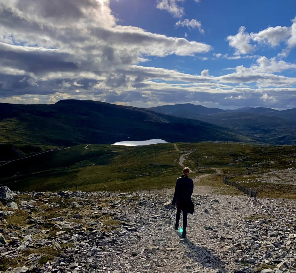
The Cairnwell 3 are considered the easiest three Munros to bag. The starting point is Glenshee Ski Centre which is 600 metres above sea level. This means that it is less than 400 metres to climb to the summit.
The Cairnwell and Càrn Aosda are scared by the ski development and are the easiest to climb. If you want a relaxing day, you can even use the ski centre’s Cairnwell Chairlift to help with your climb.
Càrn a’ Ghèoidh is more remote, hidden behind its neighbours and is a further walk west passing a lochan to get to the summit.
Once you have finished your walk, you can relax at the Tea at the Shee. The café is open all year round and is the highest café in Scotland standing at 2000 feet above sea level.
Cairngorm Darkside
- Ben Macdui: 1309 metres
- Càrn a’Mhaim: 1037 metres
- Beinn Mheadhoin: 1182 metres
- Derry Cairngorm: 1155 metres
- Driving Time: 1 hour 47 minutes
- Starting Point: Linn of Dee car park
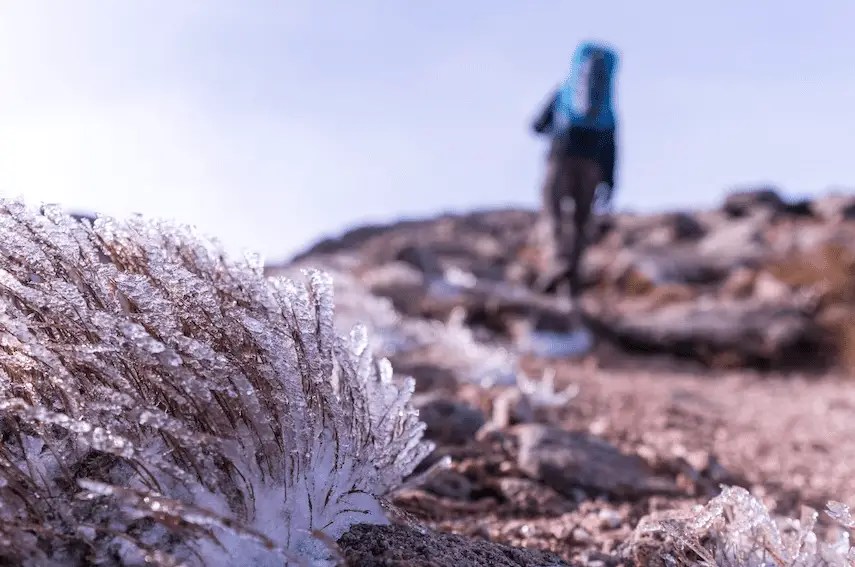
The summit of the Derry Cairngorm is covered in extensive boulder fields. Ben Macdui is the second highest Munro in Scotland and it is the highest Munro on this list.
There are several approaches to bag Ben Macdui. The more popular routes are from the Sugarbowl car park or one of the Cairngorm Mountain Ski Resort car parks.
Càrn a’Mhaim is a southern satellite of Ben Macdui, linked by a long and very narrow ridge. Carn a’Mhaim is joined to Ben Macdui by a narrow ridge.
From the summit of Carn a’Mhaim, there are excellent views across the pass to Cairn Toul and the Devil’s Point.
The Linn of Dee Car Park can be reached in less than a two-hour drive from Aberdeen. From the Linn of Dee Car Park, the route follows through the gorgeous Glen Lui. Passing the lovely pinewoods of Derry Lodge and ascending via the Sron Riach ridge.
The starting point for Cairngorm Darkside, Linn of Dee, is near Braemar and Ballater.
Glen Ey Munros
- Glas Tulaichean: 1051 metres
- Càrn an Rìgh: 1029 metres
- Beinn Iutharn Mhor: 1045 metres
- Càrn Bhac: 946 metres
- Driving Time: 1 hour 50 minutes
- Starting Point: Spittal of Glenshee or Dalmulzie Hotel
- Nearby Accommodation: Dalmuzie Castle Hotel
Glas Tulaichean, Càrn an Rìgh and Beinn Iutharn Mhòr are summits of these Munros that are over 1,000 metres. Beinn Iutharn Mhòr is usually accessed from the long Glen Ey from the north.
Càrn Bhac is one of the less visited Munros, which means a peaceful and tranquil walk. Càrn Bhac and Beinn Lutharn Mhòr can also be climbed from Inverey.
Inverey was the last place in eastern Scotland where Scottish Gaelic was spoken. The route from Inverey leads past the ruins of Altanour Lodge.
Beinn a’Bhuird
- Beinn a’Bhuird: 1197 metres
- Driving Time: 1 hour 50 minutes
- Starting Point: Linn of Quoich Car Park
Beinn a’Bhuird is the 11th-highest Munro in Scotland and is the 2nd tallest on this list. Beinn a’Bhuird is a Scottish Gaelic word that roughly translates to Table Mountain.
The mountain features a flat summit. There are cliffs on the eastern side leading down to Coire an Dubh Lochain and Coire nan Clach and absolutely spectacular views around the Cairngorms.
The National Trust has done a fantastic job in restoring the landscape and has helped the old track be recovered with heather.
It is a 17.5-mile round trip from the Linn of Quoich car park and 8 hours to complete. There is a fee for the car park. Beinn a’bhuird is a good close Munro from Braemar and Ballater.
What is the closest Munro to Aberdeen?
Mount Keen is the closest Munro to the city of Aberdeen. The starting point is a 1 hour and fifteen-minute drive away.
Mount Keen is also considered one of the easiest mountains to bag. With a lovely walk through Glen Esk before ascending to the summit. Also, Mount Keen is the most easterly Munro in Scotland.
Are there any Munros in Aberdeenshire?
There are 30 Munros in Aberdeenshire, all the Munros are within 2 hours and 30 minutes from Aviemore. Most of the Munros are in the Cairngorms National Park, the main starting points are Glenshee, Linn of Quoich and Linn of Dee.
The top 10 easiest Munros near Aberdeen:
- The Cairnwell: 933 metres
- Càrn Aosda: 917 metres
- Càrn a’ Ghèoidh: 975 metres
- Mount Keen: 929 metres
- Mayar: 928 metres
- Dreish: 947 metres
- Càrn an Tuirc: 1019 metres
- Cairn of Claise: 1064 metres
- Glas Maol: 1068 metres
- Creag Leacach: 987 metres
Final Note
Munro bagging is a great way to exercise and can become quite addictive. If you live in Aberdeen or Aberdeenshire, there are a few Munro walks that are less than a two-hour drive away.
A lot of the walks are located in the Cairngorms National Park.
Make sure you are prepared for hill walking and Munro walking. You must have all the correct gear including suitable hiking shoes. As well as a compass, a map, drinks, snacks and a fully charged mobile.
As the Munros near Aberdeen are located at such a high latitude and at the peak hikers are at a high altitude. The weather change changes quickly and is very dramatic.
Always make sure to dress for the weather and always carry extra layers. Always be prepared in case the weather changes completely. Also, you will be surprised how easily the sun can burn your skin, so always wear sunscreen.
The Cairngorms is such a picturesque part of Scotland. On your hike, you might be lucky enough to spot some red deer.
There are many Munros to bag in the Highlands, you can climb up Munros near Oban, Ullapool, Fort William and Inverness. Also, walkers can attempt many other mountains including Grahams and Corbetts.
Always take care when planning, research deer stalking in areas. Check the weather forecast and keep someone updated on where you are going.
For shorter routes, hill walkers can spend a morning or afternoon climbing one of the nearby hills near Aberdeen.
For an online map of Munros: Munro Map
