A Guide To The 50 Munros In The Cairngorms National Park
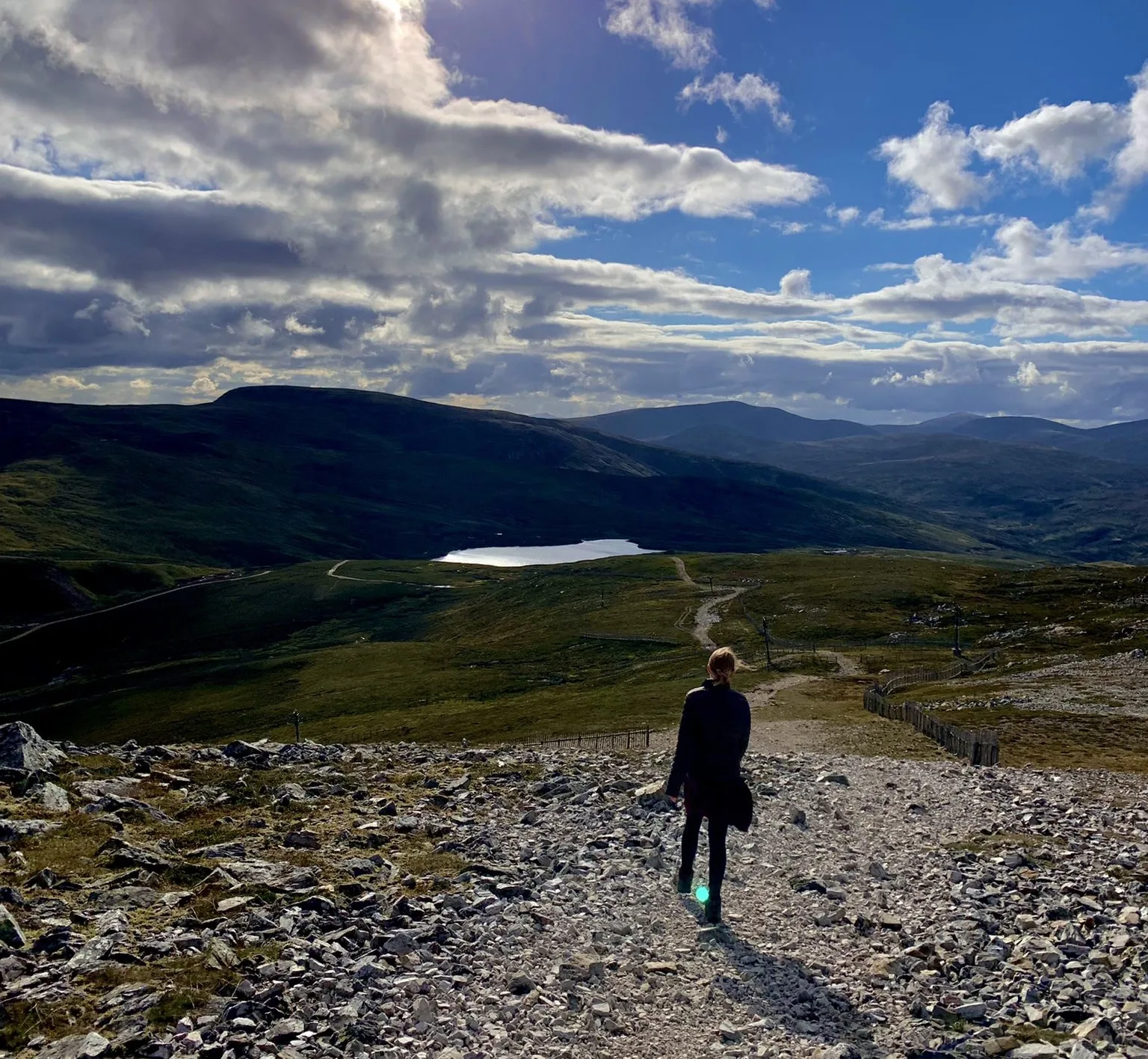
In the Cairngorms National Park, there are over 50 Munros to bag. I have put together a guide which shows the main routes to bag all the Munros in the Cairngorms National Park.
Munro bagging is a great hobby which you can enjoy for many years. The Cairngorms National Park is a wild and dramatic place to explore.
The Cairngorms is part of the Grampian Mountains and is one of the most famous mountain ranges. In Scottish Gaelic, Cairngorms translates to Am Monadh Ruadh which means The Red Mountains.
Drumochter Hills is a mountain range on the edge of the park which is home to seven Munros. These heathers and grass-covered hills are located on the west of A9 and have amazing views over Loch Ericht to the Ben Alder group and beyond.
Also, on the western edge of the Cairngorms, is the group of the four Monadhliath Munros. Other parts of the Cairngorms include the Grampians, Glen Clova, Glen Esk, Lairig Ghtu, Angus and Glen Feshie.
This post will detail the routes to the summits of all of the Munros in the Cairngorms, starting with the most popular first.
Tolmount & Tom Buidhe
These two less distinct Munros are often bagged together. There are various starting points that all showcase brilliant parts of the Cairngorms.
You can enjoy these climbs as part of the Glenshee 6 (start at the Glenshee Ski Centre), or from Loch Callater, or Glen Doll on the “Jock’s Road” path. Tolmount is a cone-shaped peak with glorious views across Glen Callater to the north.
- Height: Tolmount – 958 metres, Tom Buidhe – 957 metres
- Distance: 14.5 kilometres / 9 miles
- Time: 5 hours
- Ascent: 835 metres
- Starting Point: Glen Doll Car Park
- Nearest Town: Brechin
- Nearby Accommodation: Smiddy Bothy
Mount Keen
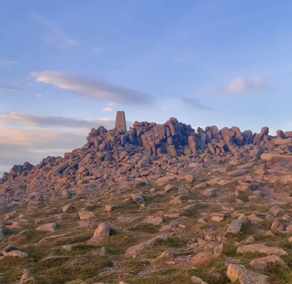
Mount Keen most easterly Munro in Scotland is located in Angus, the peak is dome-shaped.
There is a well-maintained path on the most popular route from Glen Esk. However, there is a more scenic route from Glen Tanar.
- Height: 939 metres
- Distance: 17.5 kilometres / 11 miles
- Time: 5 hours
- Ascent: 810 metres
- Starting Point: car park at Invermark
- Nearest Town: Brechin
- Nearby Accommodation: Dunlappie Lodge
Mayar & Driesh
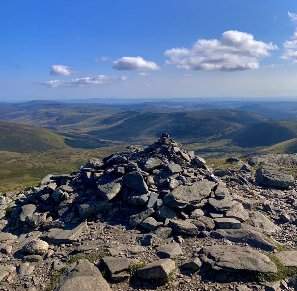
Another two of the Munros are located in Angus. The summits of Mayar and Dreish are often climbed together.
Before the ascent, you can enjoy the wonderful Glendoll woodland and views through Corrie Fee.
This is considered one of the easiest routes and a straightforward circuit to bag two Munros. This route is the most common Munros to bag for those who live in Dundee and Angus.
- Height: Mayar – 928 metres, Driesh – 947 metres
- Distance: 14.5 kilometres / 9 miles
- Time: 5 hours
- Ascent: 835 metres
- Starting Point: Glen Doll Car Park
- Nearest Town: Kirriemuir
- Nearby Accommodation: Lindsays Cottage
Carn Aosda, Carn A’Ggeoidh & The Cairnwell
Together these 3 Munros are known as the Cairnwell 3. Carn Aosda and the Cairnwell are located on the ski slopes on the west side of the Cairnwell Pass.
The Cairnwell is considered the easiest Munro to bag in the Cairngorms National Park.
- Height: Carn Aosda – 917 metres, Carn A’Ggeoidh – 975 metres, The Cairnwell – 933 metres
- Distance: 13 kilometres / 8 miles
- Time: 5 hours
- Ascent: 595 metres
- Starting Point: Glen Shee Ski Centre Car Park
- Nearest Town: Blairgowrie
- Nearby Accommodation: Gulabin Lodge
Carn an Tuirc, Cairn of Claise, Glas Maol & Creag Leacach
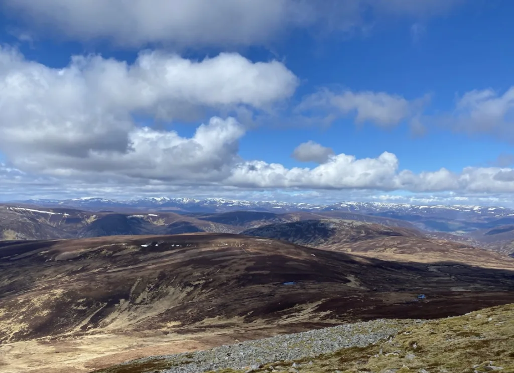
These four Munros are located on the east side of the Cairnwell Pass usually bagged together and are known as the Glas Maol Munros Circuit. A great circuit that has a starting point which is high level.
Moreover, for a longer route, walkers usually bag Tolmount & Tom Buidhe to the east. This route is known as the Cairnwell 6. Also, for those who are extra keen, the Cairnwell 3 is often a great addition to the Glas Maol Munros Circuit.
Keen walkers can complete all 9 peaks, known together as the Cairnwell 9.
Height: Carn an Tuirc – 1019 metres, Cairn of Claise – 1064 metres, Glas Maol – 1068 metres, Creag Leacach – 967 metres
- Distance: 19.25 kilometres / 12 miles
- Time: 7 hours
- Ascent: 891 metres
- Starting Point: Layby two kilometres north of Glenshee Ski Centre
- Nearest Town: Blairgowrie
- Nearby Accommodation: Gulabin Lodge
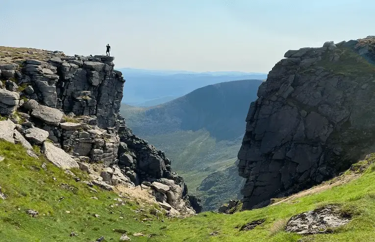
Lochnagar, Carn A Choire Bhoidheach, Carn an t-Sagairt Mor, Broad Cairn & Cairn Bannoch
One of the longest walks where there are multiple opportunities to bag Munros. These five Munros are known together as the White Mounth Munros.
Lochnagar is by the finest of the summits. As always, this is an enjoyable outing on a nice day out.
On the summit of Carn an t-Sagairt Mor, in 1957, an RAF Canberra jet crashed. There is large wreckage including the main wheels, parts of the jet engines and wings.
- Height: Lochnagar – 1156 metres, Carn A Choire Bhoidheach – 1118 metres, Carn an t-Sagairt Mor – 1047 metres, Cairn Bannoch – 1012 metres, Broad Cairn – 998 metres.
- Distance: 29 kilometres / 18 miles
- Time: 10 hours
- Ascent: 1228 metres
- Starting Point: Car Park at Loch Muick
- Nearest Town: Aberdeen
- Nearby Accommodation: Crofts Mill
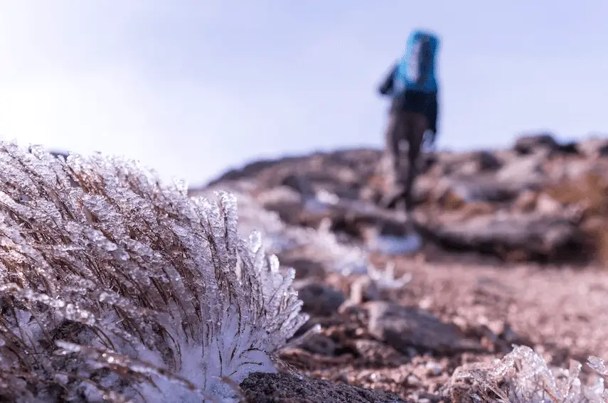
Ben Macdui & Cairn Gorm
Ben Macdui is the second-highest Munro in Britain and is the highest summit in the Cairngorms National Park. This Munro is a vast domed lump rising above the Lairig Ghru in the heart of the Cairngorms.
Near the summit, boulder fields and granite gravel cover the ground. Interestingly, Queen Victoria climbed the peak and reached the summit in 1859.
The Cairn Gorm plateau is one of the most well-known summits as the coldest, and snowiest summit in all of Britain. It is heavily developed for the ski season, including a funicular railway and restaurant.
However, this will not distract you from its wilderness and the experience of climbing it on foot. On the way to Ben Macdui from Cairn Gorm, you will get amazing views down over Loch Avon (pronounced “Arn”).
- Height: Ben Macdui – 1309 metres, Cairn Gorm – 1245 metres
- Distance: 17.5 kilometres / 11 miles
- Time: 7 hours
- Ascent: 932 metres
- Starting Point: Cairngorm Mountain Upper Car Park
- Nearest Town: Aviemore
- Nearby Accommodation: Pine Marten Bar Glenmore Pods
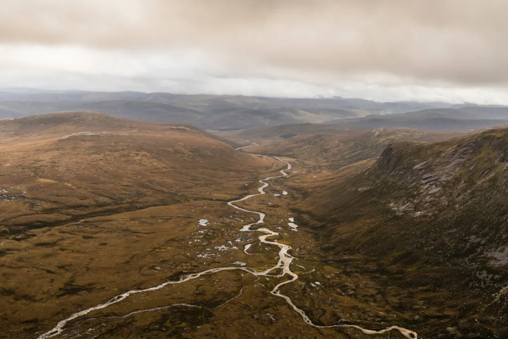
The Devil’s Point, Cairn Toul, Sgor an Lochain Uaine & Braeriach
These four Munros are known as the Braeriach Traverse. This is not an easy circuit and it is over a 20-mile round trip.
Cairn Toul is the 3rd highest Munro in the national park and the 4th highest in Scotland. Sgor an Lochain Uaine is also known as the Angel’s Peak.
The peak was only upgraded to Munro Status in 1997, this is often seen as a smaller sibling to the Cairn Toul. The route takes you up the very steep slope towards the lochan that gives its name, Lochan Uaine.
Braeriach is the second-highest Munro in the Cairngorm National Park, and the third-highest in Britain. From Brariach, you can view the craggy corries and awesome views down to the Lairig Ghru.
- Height: The Devil’s Point – 1004 metres, Cairn Toul – 1291 metres, Sgor an Lochain Uaine – 1258 metres, Braeriach – 1296 metres
- Distance: 36 kilometres / 22.23 miles
- Time: 13 hours or 2 days
- Ascent: 1820 metres
- Starting Point: Sugar Bowl car park
- Nearest Town: Aviemore
- Nearby Accommodation: Pine Marten Bar Glenmore Pods
Beinn Mheadhoin & Derry Cairngorm
Derry Cairngorm features a bald, stony summit while Beinn Mheadhoin is a majestic granite summit. The Derry Cairngorm is often mistaken for Ben Macdui and offers one of the best viewpoints of Ben Macdui.
This is a long hill walk, showcasing the very heart of the wild Cairngorms through the spectacular Glen Derry pinewoods and lonely Loch Etchachan. Beinn Mheadhoin is another remote Munro in the wilderness of the Cairngorms near Loch Avon.
Spectacular rocky tors (rock-out crops) are perched on the rounded plateau of Beinn Mheadhoin. There are multiple paths that cross over Beinn Mheadhoin and the summit can be involved in many routes.
Approach to the summit of Beinn Mheadhoin and Derry Cairngorm is easier from the Linn of Dee from the south.
Alternatively, there are routes from the Cairngorm Ski Centre or Glenmore in the north. However, the paths from the north are not as good as the fine tracks in the south.
- Height: Beinn Mheadhoin – 1182 metres, Derry Cairngorm – 1155 metres
- Distance: 31 kilometres / 19.25 miles
- Time: 9 hours
- Ascent: 1200 metres
- Starting Point: Linn of Dee car park
- Nearby Accommodation: Drumrunie
- Nearest Town: Braemar
Beinn lutharn Mhor & Carn Bhac
A long approach through Glen Ey to reach these two remote Munros.
- Height: Beinn lutharn Mhor – 1045 metres, Carn Bhac – 946 metres
- Distance: 32 kilometres / 20 miles
- Time: 10 hours
- Ascent: 983 metres
- Starting Point: Inverey Car Park
- Nearest Town: Braemar
- Nearby Accommodation: Drumrunie
An Socach (Glen Ey)
A less well-known Munro in the Cairngorms National Park. An alternative route included walking from Inverey and Glen Ey.
- Height: 944 metres
- Distance: 15.75 kilometres / 9.75 miles
- Time: 5 hours
- Ascent: 655 metres
- Starting Point: Inverey Car Park
- Nearest Town: Braemar
- Nearby Accommodation: Mar House
An Sgarsoch & Carn an Fhidhlier
A couple of the most remote routes in the Cairngorms National Park.
- Height: An Sgarsoch – 1006 metres, Carn an Fhidhlier – 994 metres
- Distance: 42 kilometres / 26 miles
- Time: 12 hours
- Ascent: 1059 metres
- Starting Point: Linn of Dee car park
- Nearest Town: Braemar
- Nearby Accommodation: Braemar Youth Hostel
Ben Avon
This Munro is known for its extensive, sprawling plateau which stretches for miles and is peppered with a vast assortment of volcanic granite tors. Like many of the Cairngorms Munros, Ben Avon is a remote long-distance walk from any direction.
- Height: 1171 metres
- Distance: 33.5 kilometres / 21 miles
- Time: 9 hours
- Ascent: 1004 metres
- Starting Point: Keiloch
- Nearest Town: Braemar
- Nearby Accommodation: Cranford Guest House
Beinn a’Bhuird
A spacious summit forms a rim above the magnificent corries, with the remote Garbh Choire being the finest. The mountain can be approached either through the pinewoods of Glen Quoich or the moors of Gleann an t-Slugain.
- Height: 1197 metres
- Distance: 28 kilometres / 17.5 miles
- Time: 8 hours
- Ascent: 959 metres
- Starting Point: Linn of Quoich Car Park
- Nearest Town: Braemar
- Nearby Accommodation: Mar House
Beinn A’Chaorainn & Beinn Bhreac
Beinn A’Chaorainn & Beinn Bhreac is a pair of Munros which lie between Beinn a’Bhuird and Ben Avon.
- Height: Beinn A’Chaorainn – 1082 metres, Beinn Bhreac – 931 metres
- Distance: 29 kilometres / 18 miles
- Time: 9 hours
- Ascent: 878 metres
- Starting Point: Linn of Dee Car Park
- Nearest Town: Braemar
- Nearby Accommodation: Cranford Guest House
Carn A’Mhaim
This is a brilliant walk from the Linn of Dee. For a more challenging route, you can add on Ben Macdui and Derry Cairngorm.
- Height: 1037 metres
- Distance: 22.5 kilometres / 14 miles
- Time: 7 hours
- Ascent: 648 metres
- Starting Point: Linn of Dee Car Park
- Nearest Town: Braemar
- Nearby Accommodation: Drumrunie
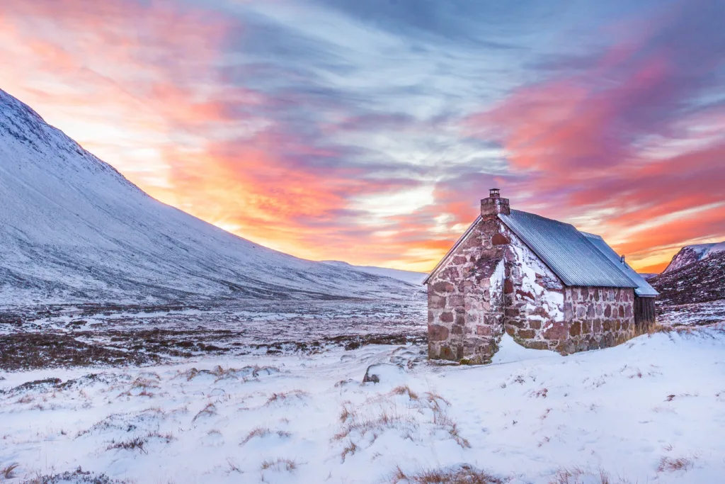
Beinn Bhrotain & Monadh Mor
Beinn Bhrotain can be approached from the Linn of Dee, which is the quicker route. Longer routes can be considered from Glen Feshie, Glen Einich or the Lairig Ghru.
- Height: Beinn Bhrotain – 1157 metres, Monadh Mor – 1113 metres
- Distance: 29 kilometres / 18 miles
- Time: 10 hours
- Ascent: 1505 metres
- Starting Point: car park at Glen Feshie
- Nearest Town: Aviemore
- Nearby Accommodation: Tigh An Tearlach
Sgor Gaoith & Mullach Clach A’Bhlair
Sgor Gaoith & Mullach Clach A’Bhlair lie above Glen Feshie, in the heart of Rothiemurchas. There is a stunning vast area of Caledonian forests, lochs, rivers, glens, mountains and wild landscapes.
On the southwestern edge of the great Moine Mhor plateau is the tall Mullach Clach a ‘Blhair.
Sgor Gaoith can be climbed alone and it is a good route for a short day. It is one of the most accessible Munros in the Cairngorms, even though it feels extremely remote.
- Height: Sgor Gaoith – 1118 metres, Mullach Clach A’Bhlair – 1019 metres
- Distance: 26 kilometres / 16 miles
- Time: 8 hours
- Ascent: 1100 metres
- Starting Point: Achlean car park
- Nearest Town: Aviemore
- Nearby Accommodation: Tigh An Tearlach
Bynack More
Bynack Mor is a prominent Munro, on the north eastern side of the Cairngorms. This summit is viewable across Moray.
It is a simple trail, a rocky but clear track the entire way. The starting point for Bynack More is twenty minute drive from Aviemore.
On the way to the summit, you will reach the sparkling An Lochan Uaine and Ryboan Bothy.
- Height: 1090 metres
- Distance: 22.5 kilometres / 14 miles
- Time: 6.5 hours
- Ascent: 756 metres
- Starting Point: Allt Mot car park
- Nearest Town: Aviemore
- Nearby Accommodation: Pine Marten Bar Glenmore Pods
Carn na Cairn & A’Bhuidneach-Bheag
Carn na Cairn is the highest point on the vast plateau east of Dalwhinnie that stretches above Drumochter and Gaick passes.
There are amazing views and the approach to the summit can be boggy. Carn na Cairn is often bagged together with A’Bhuineach Bheag.
A’Bhuidheanach Bheg is a broad, domed summit on the spacious plateau to the east of the Drumnochter Pass. The summit is wild and desolate.
The route follows a track from a disused quarry. Navigation can be testing, even in clear conditions.
- Height: Carn na Cairn – 941 metres, 936 metres
- Distance: 19 kilometres / 12 miles
- Time: 5 hours
- Ascent: 824 metres
- Starting Point: Layby 87, A9
- Nearest Town: Pitlochry
- Nearby Accommodation: Balsporran B&B
Meall Chuaich
A hidden gem up a glen near Dalwhinnie is one of the shorter ascents up a Munro.
- Height: 951 metres
- Distance: 14 kilometres / 8.75 miles
- Time: 5 hours
- Ascent: 614 metres
- Starting Point: Layby on A9, near Cuaich
- Nearest Town: Pitlochry
- Nearby Accommodation: Dalwhinnie Old School Hostel
Carn an Rìgh & Glas Tulaichean
These two Munros are located between empty lands of the Mounth between Beinn a’Ghlo and Glen Shee. There is a good track to the top of Glas Tulaichean meanwhile Carn an Rìgh is much more wilder and remote.
- Height: Carn an Rìgh – 1029 metres, Glas Tulaichean – 1051 metres
- Distance: 27 kilometres / 16.75 miles
- Time: 9 hours
- Ascent: 1085 metres
- Starting Point: car park near Dalmunzie Castle Hotel
- Nearest Town: Blairgowrie
- Nearby Accommodation: Gulabin Lodge
10 Easiest Munros to climb in the Cairngorms National Park
- The Cairnwell 933 metres
- Carn Aosda 915 metres
- Carn A’Gheoidh 975 metres
- Mount Keen 939 metres
- Mayar 928 metres
- Dreish 947 metres
- Broad Cairn 998 metres
- Cairn Gorm 1,245 metres
- Glas Tulaichean 1,051 metres
- Lochnagar 1,156 metres
10 Highest Munros in the Cairngorms National Park
- Ben Macdui 1,309 metres
- Braeriach 1,296 metres
- Cairn Toul 1,291 metres
- Sgor an Lochain Uaine 1,258 metres
- Cairn Gorm 1,245 metres
- Beinn a’Bhuird 1,197 metres
- Beinn Mheadhoin 1,182 metres
- Ben Avon 1,171 metres
- Beinn Bhrotain 1,157 metres
- Lochnagar 1,156 metres
10 Most Popular Munros in the Cairngorms National Park
- Ben MacDui 1,309 metres
- Bynack More 1,090 metres
- The Cairnwell 933 metres
- Lochnagar 1,156 metres
- Carn Aosda 915 metres
- Mayar 928 metres
- Driesh 947 metres
- Mount Keen 939 metres
- Braeriach 1,296 metres
- Cairn Toul 1,291 metres
How many Munros are in the Cairngorms?
Fifty five of the 282 Munros are located in the boundaries of the Cairngorm National Park. Four of the highest mountains in the UK are found in the Cairngorms mountain range.
What is the easiest Munro to climb?
The Cairnwell is reported to be the easiest Munro to climb in the Cairngorms National Park. There is a short ascent up an easy gravel path on the scarred ski slopes of mountain sides.
The car park is 650 metres high, with only 430 metres to get to the peak. The Cairnwell is often bagged with Carn Aosda.
Final Note
This post lists 24 routes to bag all the Munros in the Cairngorms National Park. There are a few other Munros that are classed in the Cairngorm boundary but they are in Perthshire county.
Tilt Hills include Beinn Dearg, Carn a’Chlamain, Carn Liath, Braigh Coire Chruinn-bhalgain and Carn nan Gabhar. The Drumochter Hills include A’Mharconaich, Geal-Charn, Beinn Udlamain & Sharirneach Mhor.
Please read Guide to Perthshire Munros for more information regarding these summits.
The Munros in the Cairngorms contain some of the closest Munros to Aberdeen and Dundee. Aviemore is a stunning Cairngorm village which is a great place to base yourself to bag some Munros.
A large amount of Munro peaks are located in the Highlands near Inverness, Fort William, Ullapool and Oban.
If you are not quite ready to tackle a Munro yet, consider some of Scotland’s stunning Corbett peaks.
Useful resources with more information:

